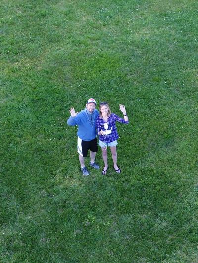
Natalie Schultz

High resolution remote sensing using UAS technology
With the growing ubiquity of unmanned aircraft systems (UAS) and their applications for education and environmental research, it is important to understand the practical considerations of UAS use, and the relationship between image collection/analysis methods and data quality. The overall objective of this project is to develop best practices and methods to collect and analyze high resolution UAS images for mapping and environmental applications. UAS flights were conducted around Connecticut between May 31 and November 29, 2017, ranging in location from a suburban park to a forested island. The UAS used in this project was a DJI Phantom 4 Pro that was equipped with an RGB and an R-G-NIR sensor. The digital images captured from the onboard cameras were used to create orthomosaics, digital surface models (DSMs) and 3D models of the landscape. Meant to lay the foundation for future UAS research, this report outlines a simple methodology for UAS image analysis and discusses the key findings for creating high-quality data products from UAS imagery. Future work will focus on continued analysis of the NIR data for vegetation monitoring purposes and compare classification methods for high-resolution imagery.
